Mapping with kepler.gl
Kepler.gl is a mapping software that lets the user import data and filter based on what they wish to see.
I had a decent experience using this tool. The user needs to make sure that any data that they have is put into the correct format and in an Excel spreadsheet. Then upload the data, add layers to filter by, add filters and play around with the software.
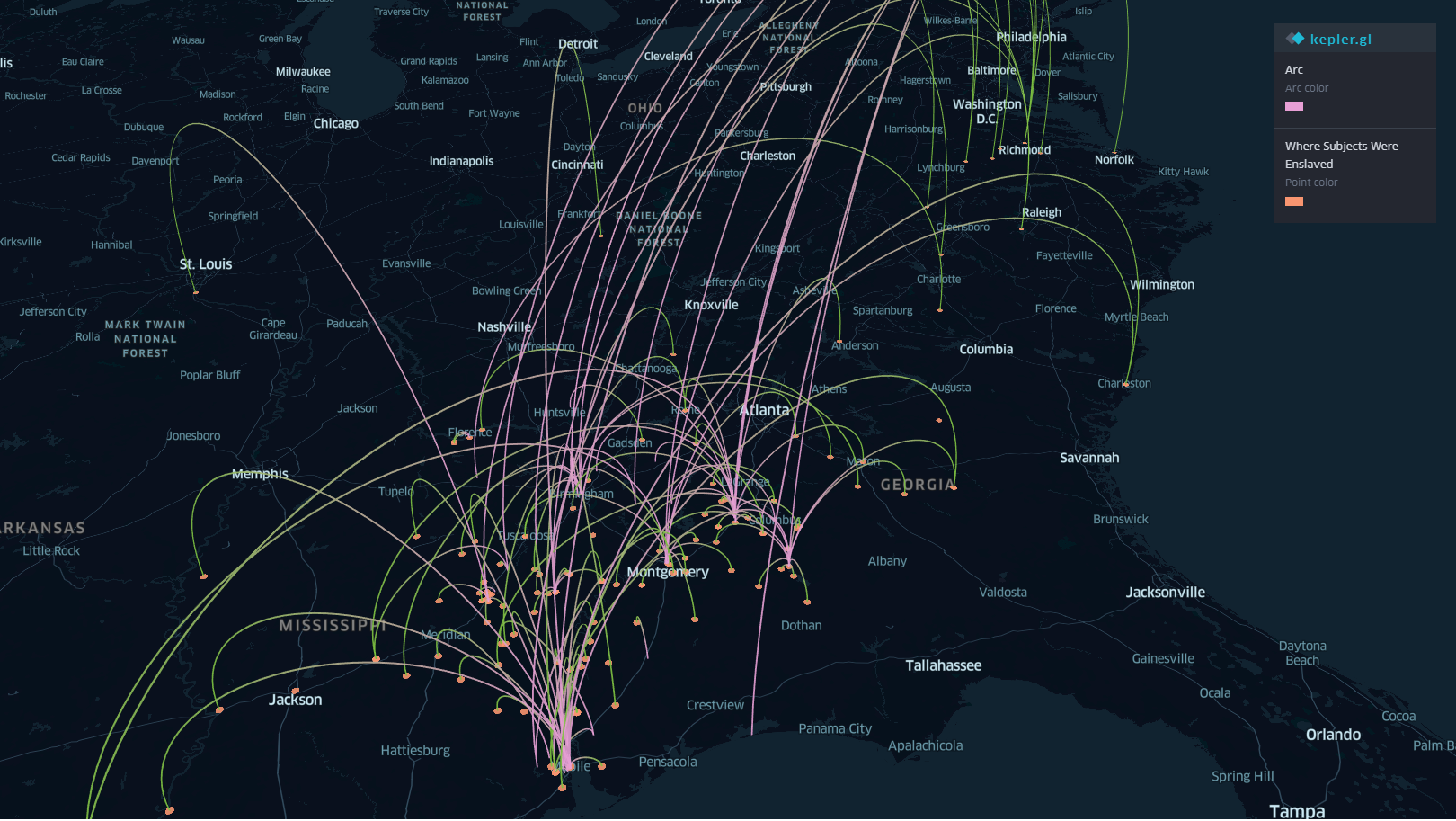
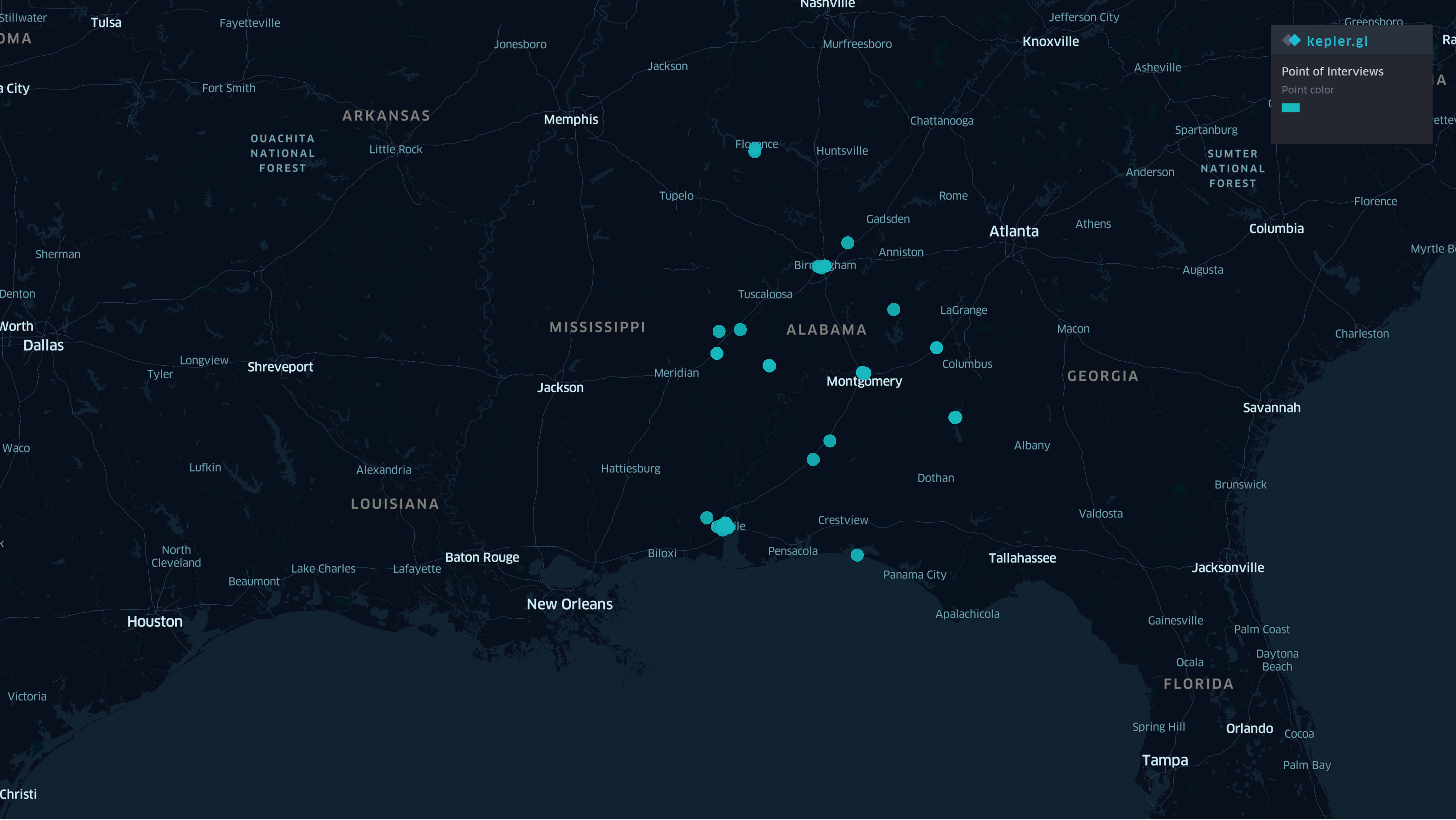
With this tool one is able to see the relationships of the topics based on where they were located and how often that city was mentioned.
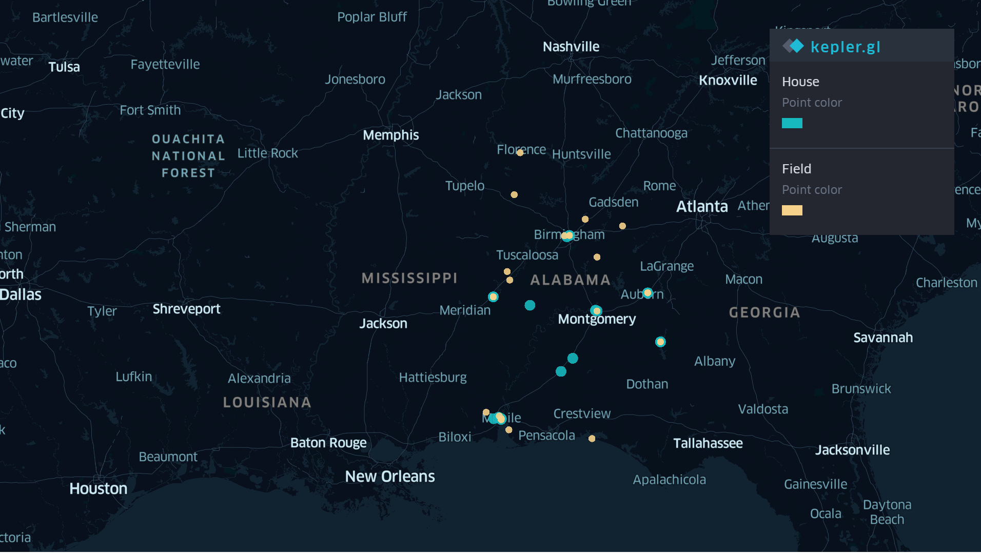
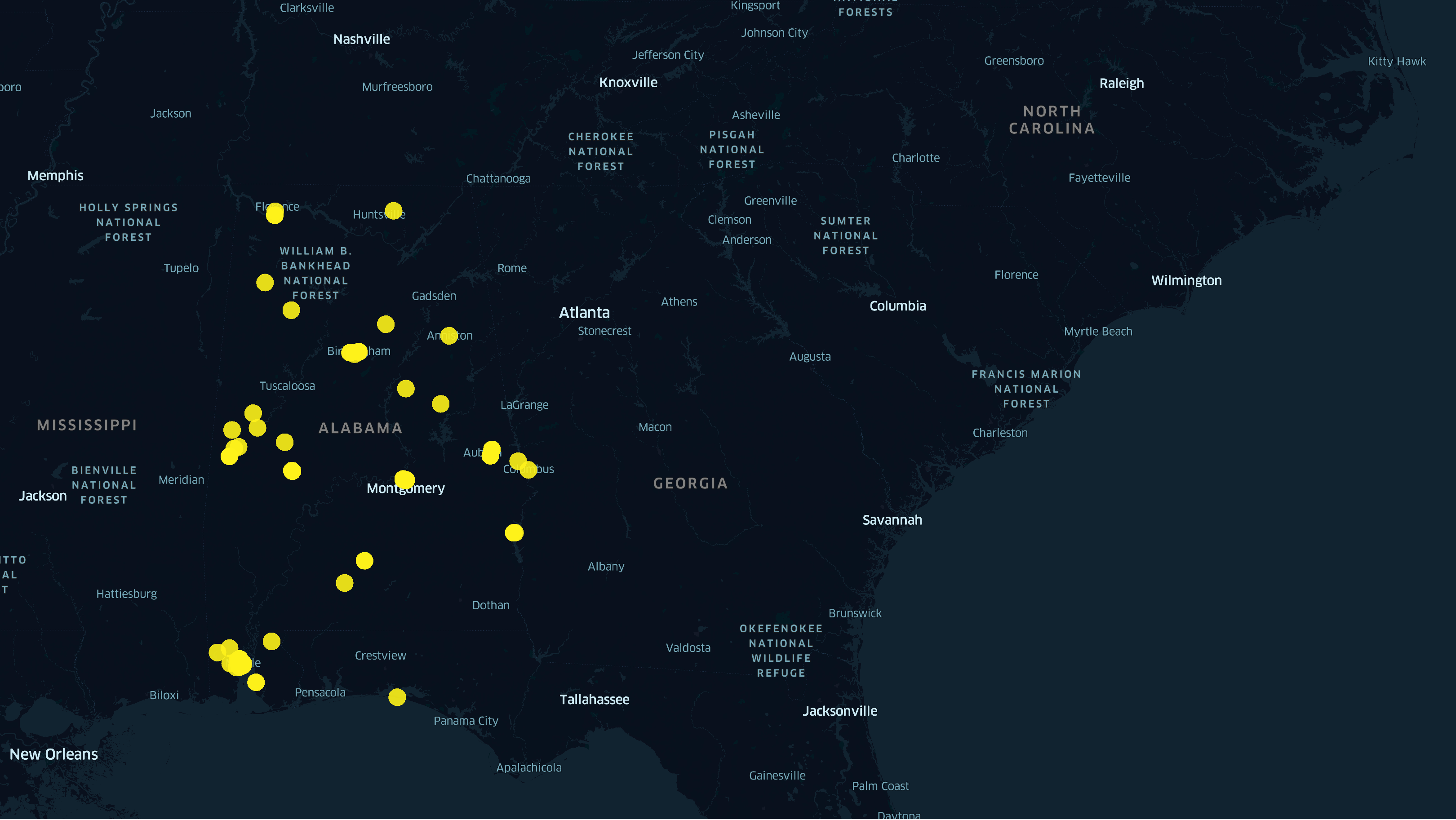
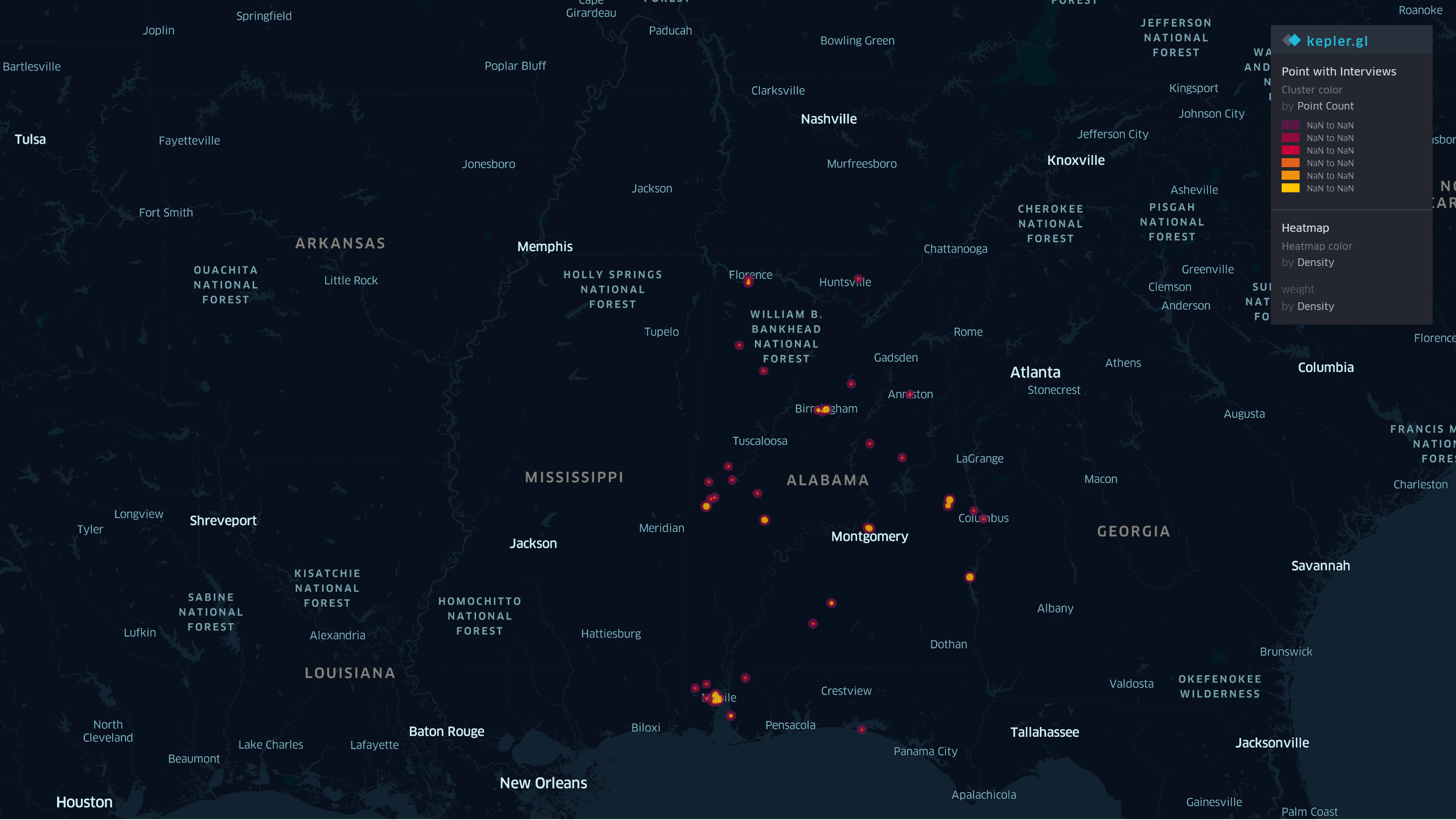
Here are some photos of the activity that I completed: